English   Română   Español   Français   Deutsch  

getamap.net

Africa

Oceania

Asia

North America

Europe

South America

Antarctica


Administrative divisions (GPS Maps)

Geography

People and Society

Government

Economy

Communications

Transportation

Military


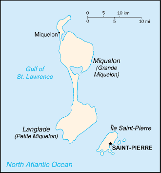
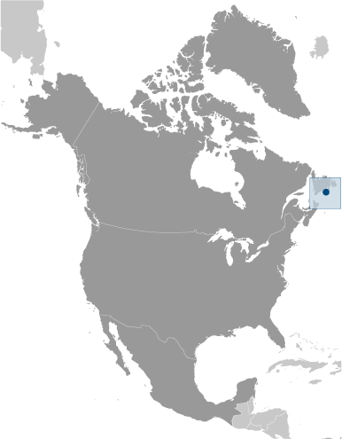
First settled by the French in the early 17th century, the islands represent the sole remaining vestige of France's once vast North American possessions.


Advertisements:

Advertisements Advertisements


Administrative divisions (544 GPS Maps)


Comments

--- There are no comments yet ---


Add a new comment:


You have to log in to add a comment!


Advertisement


Members area


Register

Forgot password?

Saint Pierre And Miquelon [ France ] (Overseas Territory):
Country Flag
Country Locator

GPS points from Saint Pierre And Miquelon [ France ] (Overseas Territory)

square Buttes Degarnies Saint Pierre And Miquelon (general)

square Rochers De L' Est Saint Pierre And Miquelon (general)

square Les Terres Rouges Saint Pierre And Miquelon (general)

square Les Terres Noires Saint Pierre And Miquelon (general)

square Morne De La Montee Saint Pierre And Miquelon (general)

square Cap Aux Renards Saint Pierre And Miquelon (general)

square Cap Aux Basques Saint Pierre And Miquelon (general)

square Platte Pointe Saint Pierre And Miquelon (general)


viewweather.com sv.ViewWeather.com
fr.ViewWeather.com
da.ViewWeather.com
de.ViewWeather.com
es.ViewWeather.com
www.carpati.org
www.searchromania.net
Deblocari usi
es.getamap.org
fr.getamap.org
de.getamap.org
nl.getamap.org
da.getamap.org
www.getamap.org
Links
Terms of use
Privacy policy

# 0.0224 sec 

contact AT getamap.net

© 2006 - 2024  https://www.getamap.net/